27Dec

Must-Read Tips about Frostbite and Hypothermia

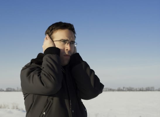
Frostbite is a severe reaction to cold exposure that can permanently damage its victims. A loss of feeling and a white or pale appearance in fingers, toes, or nose and ear lobes are symptoms of frostbite. Hypothermia is a condition brought on when the body temperature drops less than 90 degrees Fahrenheit. Symptoms of hypothermia include uncontrollable [...]
28May

Kunjamuk Cave

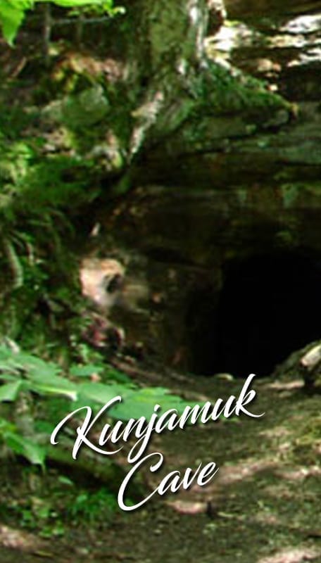
43.518307,-74.323111 a 1 mile walk to a large cave Approximately 3 miles from Speculator south on Rt. 30 to Old Rt. 30 to cross iron bridge on left. Trail is 100 feet on left. Do not go straight as this is an old, overgrown road. Follow unmarked footpath approximately 1 mile to cave on right. [...]
28May

The Speculator Loop

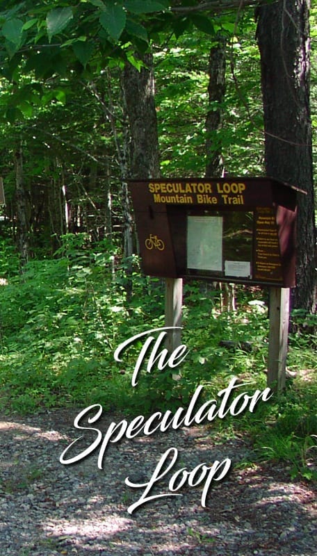
Speculator has one of the most extensive signed mountain bike trails systems in the Adirondack region. The trail system consists of two bike loops, price the larger is 13.7 miles long, and the shorter Kunjamuk Cave loop is 7.2 miles long. All trail signs make reference to the Speculator ball field, in both directions of [...]
28May

F, J & G Rail Trail

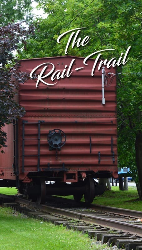
F.J. & G Rail Trail 8 miles of paved trail for walking, biking, running, skating, rollerblading, and Cross country skiiing! View Trail Map The Fonda, Johnstown & Gloversville Rail Trail (FJ&G Trail for short) currently has one main long section and one shorter section to explore. The main segment runs for nearly 8 miles between [...]
25May

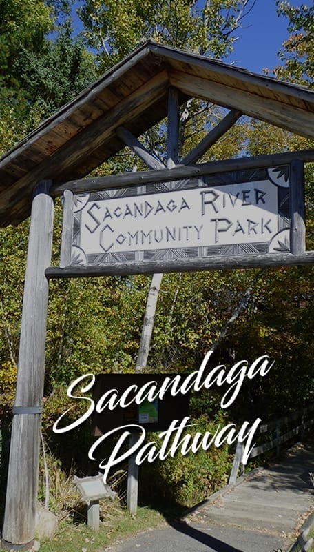
Sacandaga Pathway

GPS Coordinates: (43.49609, -74.35968) 1.5 miles RT, easy easy This nature trail with 850 yards of boardwalk is an easy 1.5-mile round trip and is fully wheelchair accessible. The path traverses a variety of habitats and three types of wetlands along a flat-water section of the Sacandaga River. Public rest rooms are available, as well [...]
19May

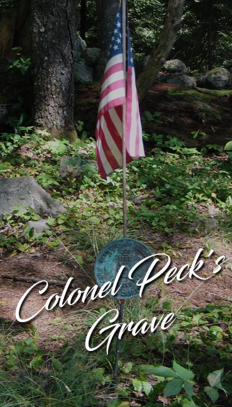
Colonel Peck’s Grave

GPS Coordinates: ( 43.47608, -74.35693) 1.2 miles RT easy Located 2.3 miles southeast of the Village of Speculator. From Speculator, drive south for 0.8 miles on route 30 and make a right onto Downey Road, Follow Downey past Camp of the Woods, turn right onto South Shore Road. Follow South Shore Road till you come [...]
19May

Northville-Lake Placid Trail

The beginning of the 133 mile Northville-Placid Trail follows the highway from Northville to Benson Center and impatient hikers may want to drive to Benson Center. However, the scenery along the Stony Creek Valley is well worth the walk. Section A—Northville to Piseco 34.80 miles Plan Your Hike No high mountains are encountered in this [...]
19May

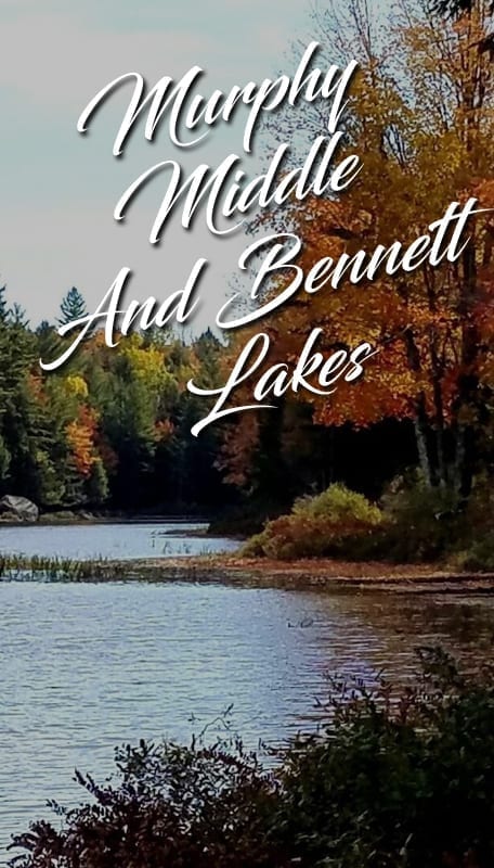
Murphy Middle And Bennett Lakes

GPS (43.30154, -74.19963) 8.3 miles, moderately easy, two cars needed From Route 30 North turn Right on to creek road, approximately 6.5 miles from Northville. Follow Creek road for 2.5 miles and the trailhead will be on the left. This route follows an old road and trail once used by early settlers who farmed and [...]
19May

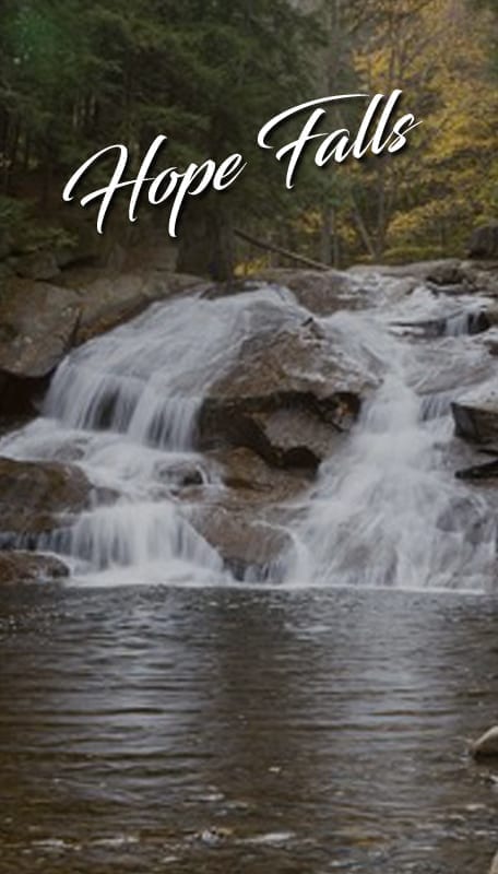
Hope Falls

GPS: (43.2891, -74.2203) Rt 30 North to the village of Northville Cross Bridge to Main St Left on to North Main North Main bends to left onto Reed St. Stay on Reed Street approx 2 miles turn right at sign for Hope Falls follow signs to the end until the road becomes dirt. Approx 3-4 [...]
19May

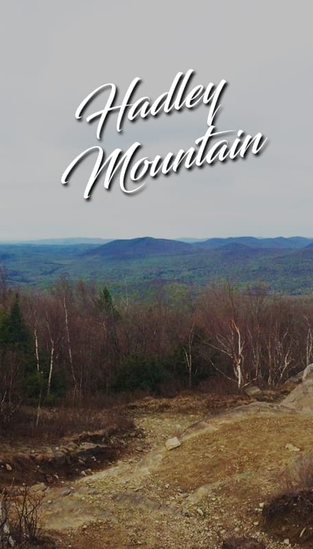
Hadley Mountain

GPS (43.37392, -73.95015) 4 miles  - round trip Moderate The trailhead has good parking for more than dozen cars. It is reached by finding your way to Lake Luzerne (NY route 9N), then crossing the Hudson to the village of Hadley. Turn north onto Saratoga route 1 for about 3 miles to Hadley Hill road (0.1 [...]