19May

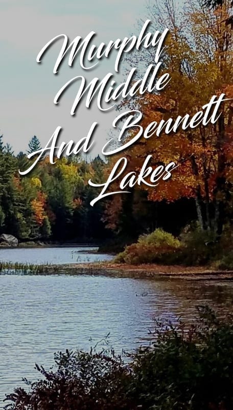
Murphy Middle And Bennett Lakes

GPS (43.30154, -74.19963) 8.3 miles, moderately easy, two cars needed From Route 30 North turn Right on to creek road, approximately 6.5 miles from Northville. Follow Creek road for 2.5 miles and the trailhead will be on the left. This route follows an old road and trail once used by early settlers who farmed and [...]
19May

Hope Falls

GPS: (43.2891, -74.2203) Rt 30 North to the village of Northville Cross Bridge to Main St Left on to North Main North Main bends to left onto Reed St. Stay on Reed Street approx 2 miles turn right at sign for Hope Falls follow signs to the end until the road becomes dirt. Approx 3-4 [...]
19May

Hadley Mountain

GPS (43.37392, -73.95015) 4 miles  - round trip Moderate The trailhead has good parking for more than dozen cars. It is reached by finding your way to Lake Luzerne (NY route 9N), then crossing the Hudson to the village of Hadley. Turn north onto Saratoga route 1 for about 3 miles to Hadley Hill road (0.1 [...]
19May

Groff Creek Falls

GPS Coordinates: ( 43.3123337, -74.255928 ) 3.5 miles Elevation Gain (feet): 0 Hope difficult 5.5 miles South of Wells: Take Rt. 30 for 3.2 miles N. of Northville, and make a left onto County Rt. 6 (Benson Road) towards Benson. Make an immediate right onto River Road, and drive north for 4.6 miles until the [...]
19May

Griffin Falls

GPS Coordinates: ( 43.4704125, -74.2247728 ) 0.4 miles Elevation Gain (feet): 0 Wells 6.0 miles NE of Wells: From Wells, proceed N. on Rt. 30 for 3.5 miles. Turn right onto Rt. 8 and drive northeast for roughly 2.5 miles. Turn left onto a seasonal road (opposite a pull-off on the R. side of the [...]
19May

Falls on Outlet from Buckhorn Lake

GPS Coordinates: ( 43.4288857, -74.4960501 ) 2.6 miles Elevation Gain (feet): 200 Arietta Easy/Moderate 8.4 miles west of Speculator: Take Route 8 from Speculator 9 miles West. Watch for the DEC trailhead signs marking the Northville-Lake Placid trail on the left past the Town of Arietta Highway Department, across from Casey’s Corner in Piseco. Follow […]

19May

East Jimmy Creek Falls

GPS Coordinates: ( 43.4534, -74.2335936 ) 0.2 miles,  Elevation Gain (feet): 0 4.5 miles NE of Wells: From Wells go north on Rte 30 for 3.5 miles until you come to the intersection of Rt. 30 & 8. Turn right onto Rt. 8 and proceed 1.2 miles. You will reach a point where parking areas [...]
19May

Austin Falls

GPS Coordinates: ( 43.49996, -74.27858 ) 0.1 miles Elevation Gain (feet): 0 Location: 7.0 miles N. of Wells: Drive north from Wells on Route 30 to the intersection of Rte 30 & 8. Continue another 6.5 miles and make a right onto Old Route 30, an unimproved road, and drive for exactly 2.7 miles and [...]