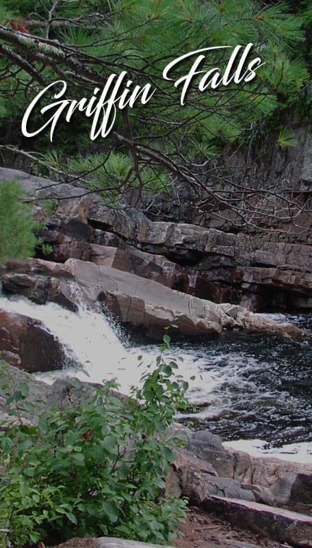
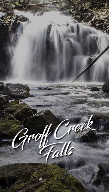
19May

Groff Creek Falls

GPS Coordinates: ( 43.3123337, -74.255928 ) 3.5 miles Elevation Gain (feet): 0 Hope difficult 5.5 miles South of Wells: Take Rt. 30 for 3.2 miles N. of Northville, and make a left onto County Rt. 6 (Benson Road) towards Benson. Make an immediate right onto River Road, and drive north for 4.6 miles until the [...]
19May

Griffin Falls

GPS Coordinates: ( 43.4704125, -74.2247728 ) 0.4 miles Elevation Gain (feet): 0 Wells 6.0 miles NE of Wells: From Wells, proceed N. on Rt. 30 for 3.5 miles. Turn right onto Rt. 8 and drive northeast for roughly 2.5 miles. Turn left onto a seasonal road (opposite a pull-off on the R. side of the [...]
19May

Falls on Outlet from Buckhorn Lake

GPS Coordinates: ( 43.4288857, -74.4960501 ) 2.6 miles Elevation Gain (feet): 200 Arietta Easy/Moderate 8.4 miles west of Speculator: Take Route 8 from Speculator 9 miles West. Watch for the DEC trailhead signs marking the Northville-Lake Placid trail on the left past the Town of Arietta Highway Department, across from Casey’s Corner in Piseco. Follow […]

19May

East Jimmy Creek Falls

GPS Coordinates: ( 43.4534, -74.2335936 ) 0.2 miles,  Elevation Gain (feet): 0 4.5 miles NE of Wells: From Wells go north on Rte 30 for 3.5 miles until you come to the intersection of Rt. 30 & 8. Turn right onto Rt. 8 and proceed 1.2 miles. You will reach a point where parking areas [...]
19May

Austin Falls

GPS Coordinates: ( 43.49996, -74.27858 ) 0.1 miles Elevation Gain (feet): 0 Location: 7.0 miles N. of Wells: Drive north from Wells on Route 30 to the intersection of Rte 30 & 8. Continue another 6.5 miles and make a right onto Old Route 30, an unimproved road, and drive for exactly 2.7 miles and [...]
19May

Auger Falls

GPS 43.46722, -74.24689 Take Route 30 North from the town of Wells. Approximately 3 miles up Route 30 there is a right hand turn that leads to a parking area. This 40 foot falls is at the beginning of a series of drops, plunges and cascades totaling over 100 feet though this narrow gorge lined [...]